
 Polis received a four-year contract with the State of Indiana to manage the integration and improvement of geographic information from all 92 counties. Polis will oversee coordination with local data stewards, data collection, quality review, and data augmentation efforts.
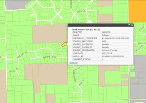
The aim is a seamless set of data layers that include land parcels/land properties, road centerlines, address points, and local administrative boundaries. Called the County Data Harvesting Project, Polis will work under the direction of the State Geographic Information Officer (GIO) and the Indiana Office of Technology.
This project, which began with a few participating counties in 2008 has grown to include all Indiana counties. The four data layers are very valuable. Wide varieties of applications use this resource, such as permitting activities, validating taxing locations, and providing an accurate and detailed base map. It is critical for the successful implementation of Indiana’s next generation 911 system, NG911.