
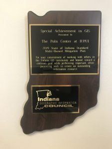
 In April, Indiana’s 2019 Multi-Hazard Mitigation Plan was adopted by the governor. On May 17, the Indiana Department of Homeland Security and The Polis Center received the Special Achievement in GIS award from the Indiana Geographic Information Council at the Indiana annual GIS Conference in Bloomington. Kayla Swoveland, GIS Analyst, and Marianne Cardwell, GIS Project Coordinator, discussed the plan during a conference presentation. The Polis Center performed a number of spatial analyses using the Federal Emergency Management Agency (FEMA)’s Hazus-MH software to determine the risk of various natural hazards in the state. Check out our story map created for the conference showing some of the results of the flood and earthquake analysis.