It is hard to imagine a health challenge more pervasive than the opioid crisis. Opioids now kill more people each year than vehicle accidents, guns, or breast cancer. One of the ways in which communities and states, including Indiana, are responding to the war on opioids is by using geographic information systems to better identify where to target resources for prevention and mitigation.
“The Opioid Epidemic” is a story map created by ESRI employee Jennifer Bell that uses geography to provide powerful insights about the opioid epidemic. Notice as you scroll down through the pages that the maps are interactive. This story map also makes the crisis personal. The last page is a crowd sourced map with photos celebrating lost loved ones.
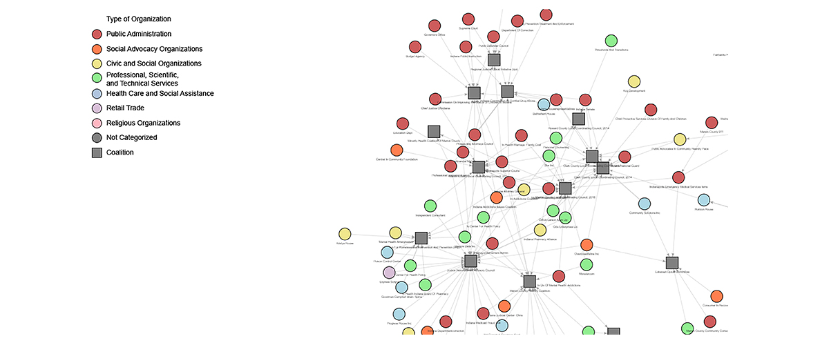
The Polis Center is contributing to the understanding of the opioid crisis by partnering with the Indiana Management Performance Hub, IU Public Policy Institute, and IU Business Research Center and the Lilly Endowment (funder) to increase the availability and utility of data shared among state agencies and between the state and the various local government and non-profit organizations that serve vital public needs. One of the ways that this is being accomplished is through the creation of cluster maps to show the connections between and among a variety of public, social, health, professional, religious, and other organizations who are providing services related to overcoming the opioid crisis. See sample map below.