
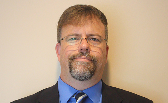
 Kevin Mickey, Director, Professional Development and Geospatial Technology Education, is co-instructing a virtual workshop, “Using GIS to Describe and Measure Risks and Vulnerabilities from Flood and Earthquake Hazards,” on Oct. 30. This workshop is the first of a series of four being developed and piloted by The Polis Center and the University of Wisconsin Space Science and Engineering Center under a FEMA grant. It is designed for planners, emergency managers, decision makers and other stakeholders in FEMA Region X, which includes the states of Idaho, Alaska, Oregon and Washington. Additional workshops to be offered between now and summer 2021 will focus on specific techniques for using GIS to model and identify actions for mitigating earthquake and flood hazards in these states.