Updating Indiana County Flood Maps
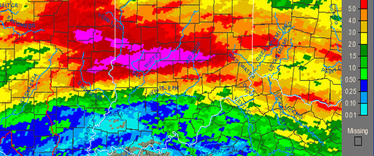
Floods happen every year in Indiana. Special conditions occasionally interrupt routine natural cycles that individually, or in combination with other variables, can produce devastating consequences such as the excessive flooding in central and south Indiana in 2008.
The US Geological Survey (USGS) report prepared in cooperation with FEMA and the Indiana Department of Natural Resources, Division of Water, Flood of June 7–9, 2008, in Central and Southern Indiana, described the event, “On June 6–7, 2008, heavy rainfall of two to more than 10 inches fell upon saturated soils and added to already high streamflows from a wetter than normal spring in central and southern Indiana. The heavy rainfall resulted in severe flooding on many streams within the White River Basin during June 7–9, causing three deaths, evacuation of thousands of residents, and hundreds of millions of dollars of damage to residences, businesses, infrastructure, and agricultural lands. In all, 39 Indiana counties declared federal disaster areas.
…By August 31, 2008, FEMA or the US Small Business Administration for Indiana residences and businesses (Indiana Office of Disaster Recovery, 2008) had approved $117.3 million in disaster assistance in Indiana. Damages to the Columbus Regional Hospital and the diesel engine facility totaled in excess of $200 million. The Indiana Office of Disaster Recovery estimated $200 million in damage to agricultural lands (funds needed for repair or rehabilitation of crop-producing acreage). There are many other costs associated with the floods not yet tallied, such as damage to public and private infrastructure and damage to personal property, such as automobiles.”
According to the National Climatic Data Center, total damage costs resulting from the June flooding that year are one of the highest of any disaster in the history of Indiana.
FEMA offers a Cooperating Technical Partners (CTP) program for organizations interested in bringing flood hazard maps up-to-date. “With over 20,000 communities in the National Flood Insurance Program (NFIP), there is a significant challenge keeping flood hazard maps current. The Cooperating Technical Partners (CTP) Program is an innovative approach to creating partnerships between the Federal Emergency Management Agency (FEMA) and participating NFIP communities, regional agencies, state agencies, tribes and universities that have the interest and capability to become more active participants in the FEMA flood hazard mapping program.”
The Polis Center was approved a CTP in 2018. The two proposals submitted and approved since then will specifically fund flood mapping updates for portions of 24 Indiana counties.
For more information, contact Jim Sparks.